
- Home
- Alan Godfrey Maps
Ordnance Survey map reproductions by Alan Godfrey
Filters
View 3300 products ›
- Your Selection Clear All
- No Selection
- Select Departments
- Select Brand
- Select City
-
Select County / State / Province
- Aberdeenshire
- Anglesey
- Antrim
- Argyll & Bute
- Armagh
- Ayrshire
- Banffshire
- Bedfordshire
- Berkshire
- Berwickshire
- Brecknockshire
- Buckinghamshire
- Caernarvonshire
- Caithness
- Cambridgeshire
- Cardiganshire
- Cardinganshire
- Carmarthen
- Carmarthenshire
- Cavan
- Cheshire
- Co Antrim
- Co Armagh
- Co Down
- Co Tyrone
- Co. Tyrone
- Cornwall
- County Durham
- Cumberland
- Denbighshire
- Derbyshire
- Devon
- Donegal
- Dorset
- Down
- Dublin
- Dumbartonshire
- Dumfries
- Durham
- Elginshire
- Essex
- Fermanagh
- Fife
- Flintshire
- Forfarshire
- Glamorgan
- Gloucestershire
- Haddingtonshire
- Hampshire
- Herefordshire
- Hertfordshire
- Huntingdonshire
- Inverness
- Isle of Man
- Isle of Wight
- Kent
- Kincardineshire
- Kirkcudbrightshire
- Lanarkshire
- Lancashire
- Leicestershire
- Leitrim
- Lincolnshire
- Linlithgowshire
- London
- Londonderry
- Merioneth
- Merionethshire
- Mid Lothian
- Middlesex
- Monaghan
- Monmouthshire
- Montgomery
- Montgomeryshire
- Nairnshire
- Norfolk
- Northamptonshire
- Northumberland
- Nottinghamshire
- Offaly
- Orkney
- Oxfordshire
- Peebleshire
- Pembrokeshire
- Perthshire
- Radnorshire
- Renfrewshire
- Ross & Cromarty
- Roxburghshire
- Ruhrgebiet
- Rutland
- Selkirkshire
- Shropshire
- Somerset
- Staffordshire
- Stirlingshire
- Suffolk
- Surrey
- Sussex
- Tyneside
- Tyrone
- Warwickshire
- Westmeath
- Westmorland
- Wigtownshire
- Wiltshire
- Worcestershire
- Wuppertal
- Yorkshire
- Zetland
- Select Country
- Select Continent
-
Select Alan Godfrey Map Collection
- Inch To The Mile
- Aberdeenshire
- Anglesey
- Argyll & Bute
- Ayrshire
- Banffshire
- Bedfordshire
- Berkshire
- Berkshire Large Scale
- Berwickshire
- Brecknockshire
- Buckinghamshire
- Caernarvonshire
- Caithness
- Cambridgeshire
- Cardiganshire
- Carmarthen
- Ceredigion
- Cheshire
- Co. Tyrone
- Cornwall
- County Antrim
- County Armagh
- County Down
- County Durham
- Cumberland
- D-Day
- Denbighshire
- Derbyshire
- Devon
- Dorset
- Dublin
- Dublin Large Scale
- Duisburg
- Dumbartonshire
- Dumfries
- Edinburgh
- Edinburgh Large Scale
- Elginshire
- Essex
- Fermanagh
- Fife
- Fife Large Scale
- Flintshire
- Forfarshire
- Glamorgan
- Gloucestershire
- Haddingtonshire
- Hampshire
- Herefordshire
- Hertfordshire
- Hull Large Scale
- Huntingdonshire
- Inverness
- Ireland
- Isle of Man
- Isle of Wight
- Kent
- Kincardineshire
- Kirkcudbrightshire
- Köln
- Lanarkshire
- Lancashire
- Leeds Large Scale Plan
- Leicestershire
- Lincolnshire
- Linlithgowshire
- Liverpool Large Scale
- London
- London Large Scale
- Londonderry
- Manchester Large Scale
- Merionethshire
- Middlesex
- Monaghan
- Monmouthshire
- Montgomery
- Nairnshire
- Norfolk
- Northamptonshire
- Northumberland
- Nottinghamshire
- Offaly
- Orkney
- Oxfordshire
- Peebleshire
- Pembrokeshire
- Perthshire
- Radnorshire
- Renfrewshire
- Rhineland
- Ross & Cromarty
- Roxburghshire
- Ruhrgebiet
- Rutland
- Selkirkshire
- Shropshire
- Somerset
- Staffordshire
- Stalybridge Large Scale
- Stirlingshire
- Stockport Large Scale
- Suffolk
- Surrey
- Sussex
- Tyneside
- Warwickshire
- Westmeath
- Westmorland
- Wigtownshire
- Wiltshire
- Worcestershire
- Wuppertal
- Yorkshire
- Zetland
- Select Historic Map Period
- Select Historic Map Colouring
-
Select Series
- Alan Godfrey D-Day Maps
- Alan Godfrey Germany & Belgium WW2 Maps
- Old OS Maps - Colour Editions
- Old OS Maps - East Anglia (incl Essex)
- Old OS Maps - East Midlands
- Old OS Maps - Inch To The Mile - England & Wales
- Old OS Maps - Inch To The Mile - Ireland
- Old OS Maps - Ireland
- Old OS Maps - Isle Of Man
- Old OS Maps - Large Scale (Yard To The Mile)
- Old OS Maps - London
- Old OS Maps - Northern England
- Old OS Maps - Scotland
- Old OS Maps - South East England
- Old OS Maps - South West England
- Old OS Maps - Wales
- Old OS Maps - West Midlands
- Select Price
-
 From £3.38 £3.38
-
From £3.38 £2.82
-
From £3.38 £3.38
-
From £3.38 £3.38
-
From £3.38 £3.38
-
From £3.38 £3.38
-
From £3.38 £3.38
-
From £3.38 £3.38
-
From £3.38 £3.38
-
From £3.38 £3.38
-
From £3.38 £3.38
-
From £3.38 £2.82
-
From £3.38 £2.82
-
From £3.38 £2.82
-
From £3.38 £3.38
-
From £3.38 £3.38
-
From £3.38 £3.38
-
From £3.38 £2.82
-
From £3.38 £2.82
-
From £3.38 £3.38
-
From £3.38 £3.38
-
From £3.38 £3.38
-
From £3.38 £3.38
-
From £3.38 £2.82
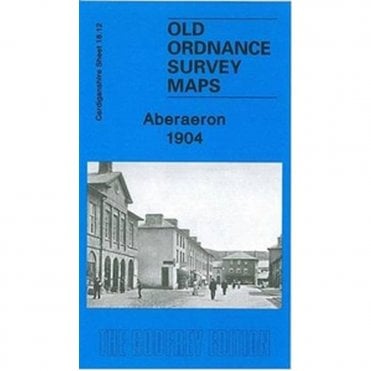
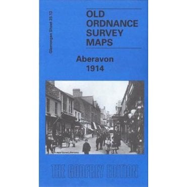
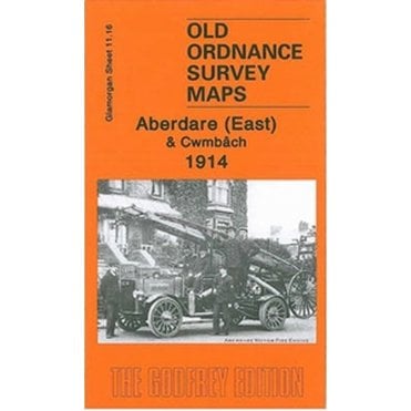
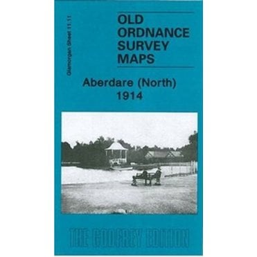
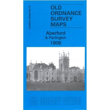
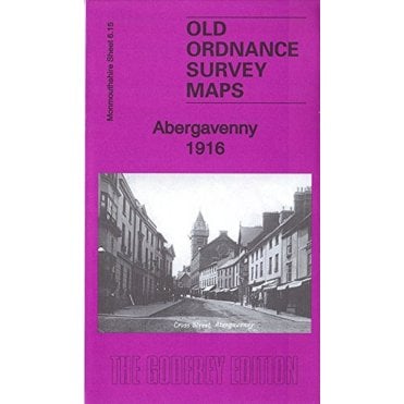
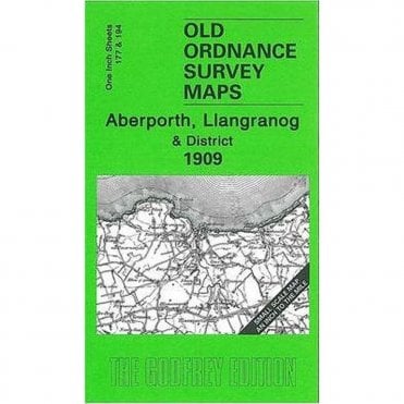
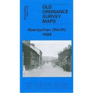
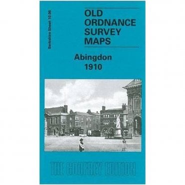
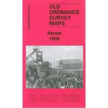
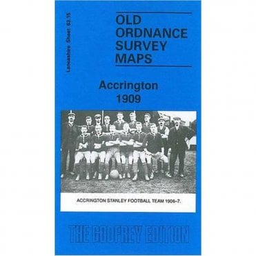
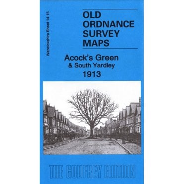
Alan Godfrey maps are typically taken from the 1/2500 Ordnance Survey plans and reprinted at about 14 inches to the mile. They cover towns in great detail, showing individual houses, railway tracks, factories, churches, mills, canals, tramways and even minutiae such as dockside cranes, fountains, signal posts, pathways, sheds, wells, etc…
Each map includes historical notes on the area concerned in the form of a short essay.
To help you find the map you want from this massive range, we suggest using the county filter to narrow down the search. If you can’t find the map that you are looking for, please do get in contact.